
NGOs & humanitarian teams
Bring country context, field check-ins and incident follow-up together before the next deployment.
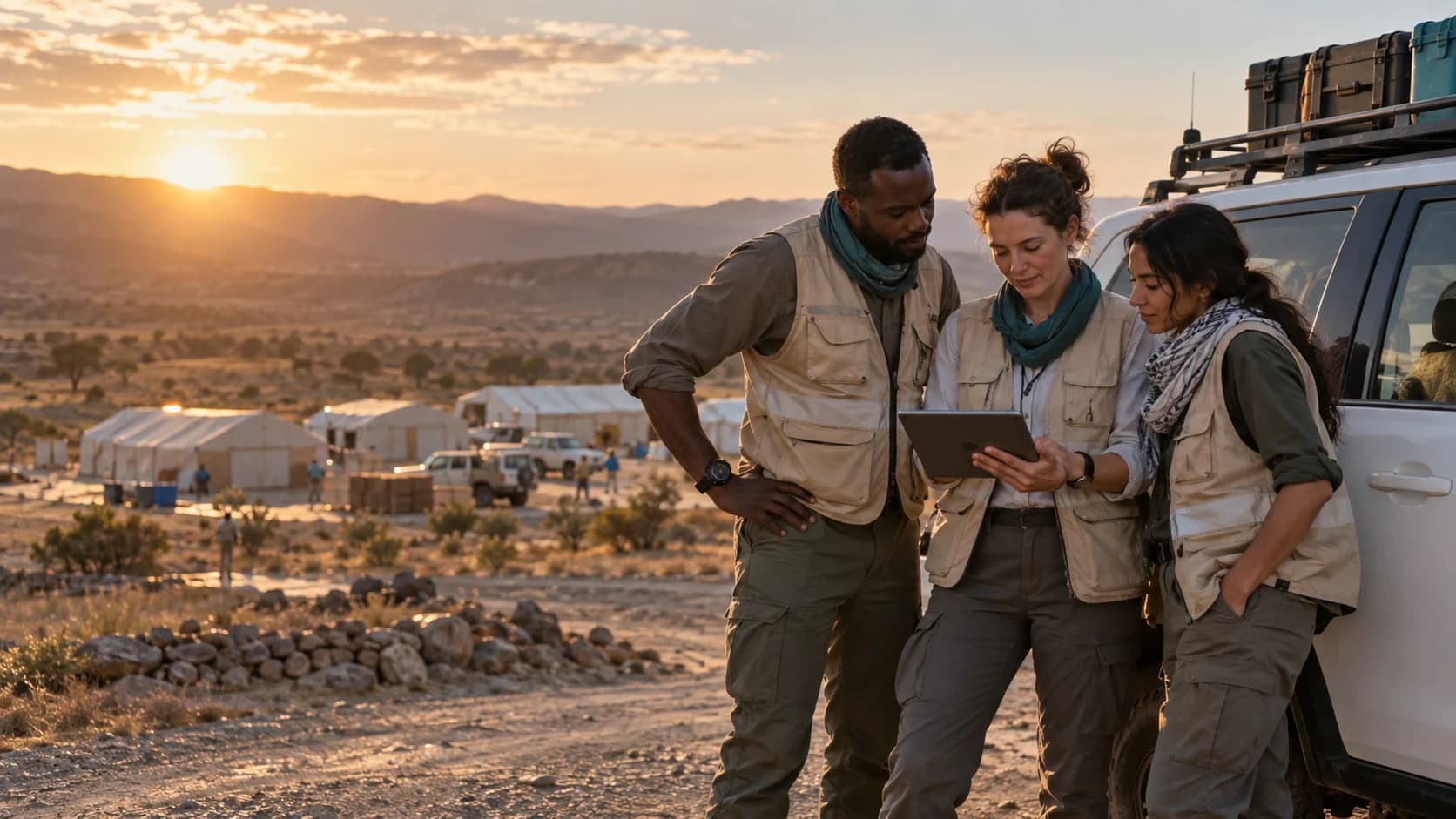
FIELD INTELLIGENCE. HUMAN ACCOUNTABILITY.
From a changing country picture to the team's last check-in. Bring intelligence, journeys and field operations into one clear workspace.
For NGOs, security operations, logistics and teams working across borders.
BUILT FOR YOUR REAL WORLD
Bring country context, field check-ins and incident follow-up together before the next deployment.
Keep a traceable record of assessments, decisions and the people responsible for them.
Connect planned journeys with voluntary staff locations and manually reported vehicle positions.
Give distributed teams a clear place to review travel, report concerns and check in.
YOUR OPERATIONAL PICTURE
A map, the latest available intelligence, and the next action. Together, in a workspace your team can actually use.
THE FIELD, IN FOCUS
Useful information deserves useful workflows. Waypoint connects country context with your team's own operational records.
Open official travel advice, disaster alerts and linked news. See publication and retrieval times, plus refresh failures.
Staff choose when to share a GPS check-in. Show its age clearly, including overdue and stale reports.
Record destinations, dates, travellers and controls. Score likelihood × impact, then leave the decision with a person.
Record vehicle registrations, status and manually reported locations. Keep report times visible alongside staff check-ins.
Invite colleagues into a separate organisation, with roles for the people who manage and use the workspace.
Record incidents and concerns, affected people, status, notes and audit history. Keep the next action visible.
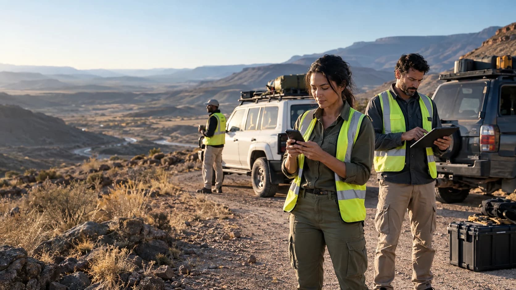
FROM CONTEXT TO A DECISION
A transparent assessment is easier to question, improve and review. Keep the reasoning beside the score.
Check the destination, official advice and recent linked reports.
Enter likelihood, impact, practical controls and the reviewer.
Plan check-ins and record changes or concerns as the journey develops.
Scores are your organisation's assessments. They are not an official travel advisory or a guarantee of safety.
FRESHNESS YOU CAN SEE
A useful dashboard tells you where its information came from and how old it is. Waypoint makes both visible.
FCDO travel advice with direct source links. Review the guidance itself before deciding to travel.
FCDOPublic disaster and humanitarian feeds add context alongside your own operational reports.
USGS · GDACSRead the original reporting. Treat headlines as context to verify, not automatic instructions.
GDELTPEOPLE FIRST
Share an operational update when it helps. Keep the limits of that update clear to everyone who sees it.
English, Arabic, French, Spanish, Portuguese and Afrikaans. Arabic supports right-to-left layouts.
START WITH A REAL USE CASE
Bring one operation, one team and the questions you need answered. We will help shape a practical pilot.
Talk to us£79+per month
Pilot pricing starts at £79/month. Scope and setup are agreed with your team before any payment.
Create a workspace to get started. No card or automatic charge.
No. Staff submit voluntary check-ins with browser permission. Waypoint displays the last reported position and its age. Vehicles use manual position reports.
No. It brings sourced information and your own assessments together. Your authorised reviewer makes the decision. Check official guidance and your operational procedures.
Yes. Create a Waypoint workspace, then invite your team. Operational records belong to that organisation. The public demo contains synthetic examples.
Feeds are scheduled to refresh daily. Each record shows source and retrieval timestamps. A failed refresh keeps the previous record visible with its age, rather than pretending it is current.
Explore the workspace. Bring your operation. Build a better rhythm of review, check-in and follow-up.
Help us improve VCMP
Allow optional analytics to help us measure visits to our product pages and demos.
Privacy policy